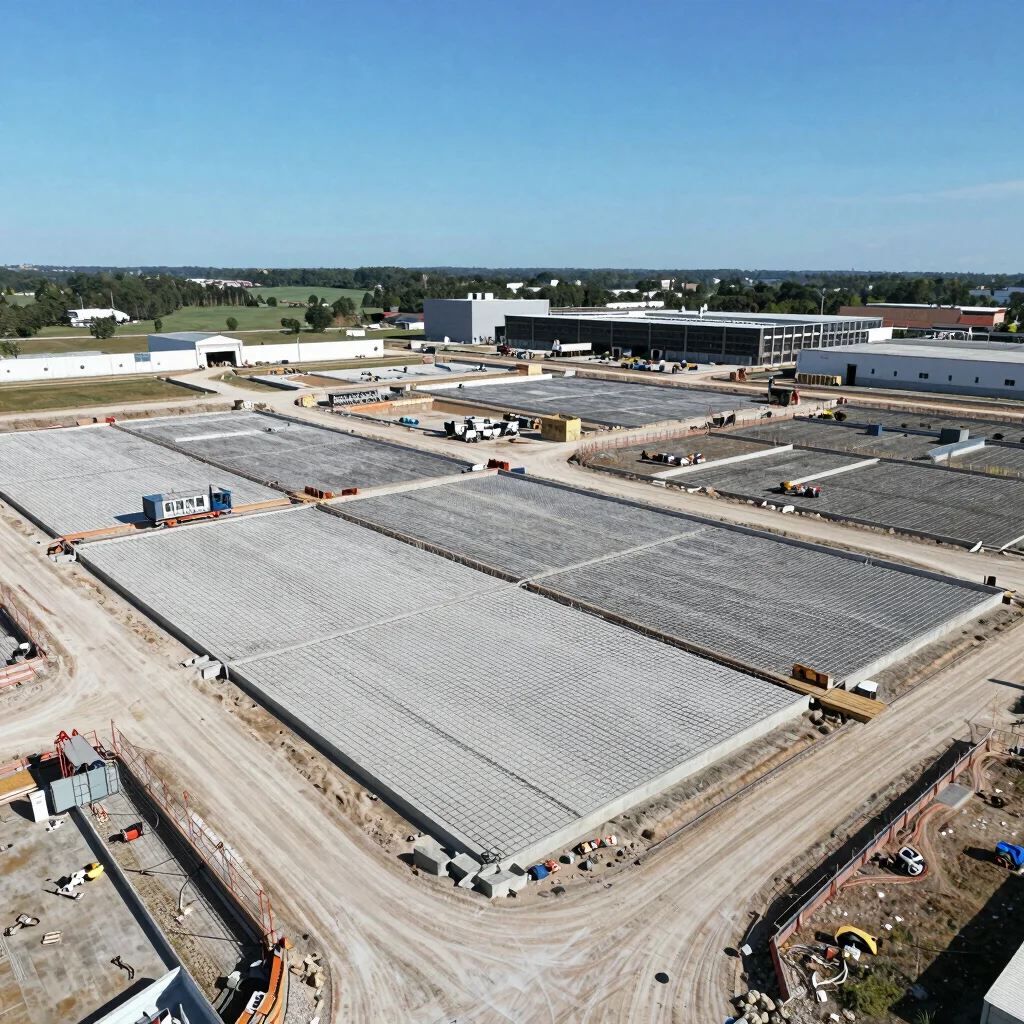
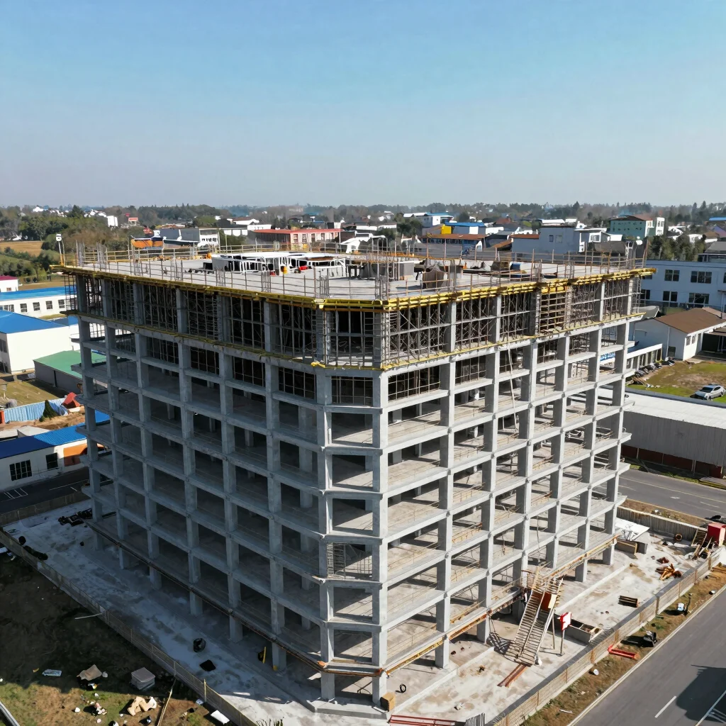
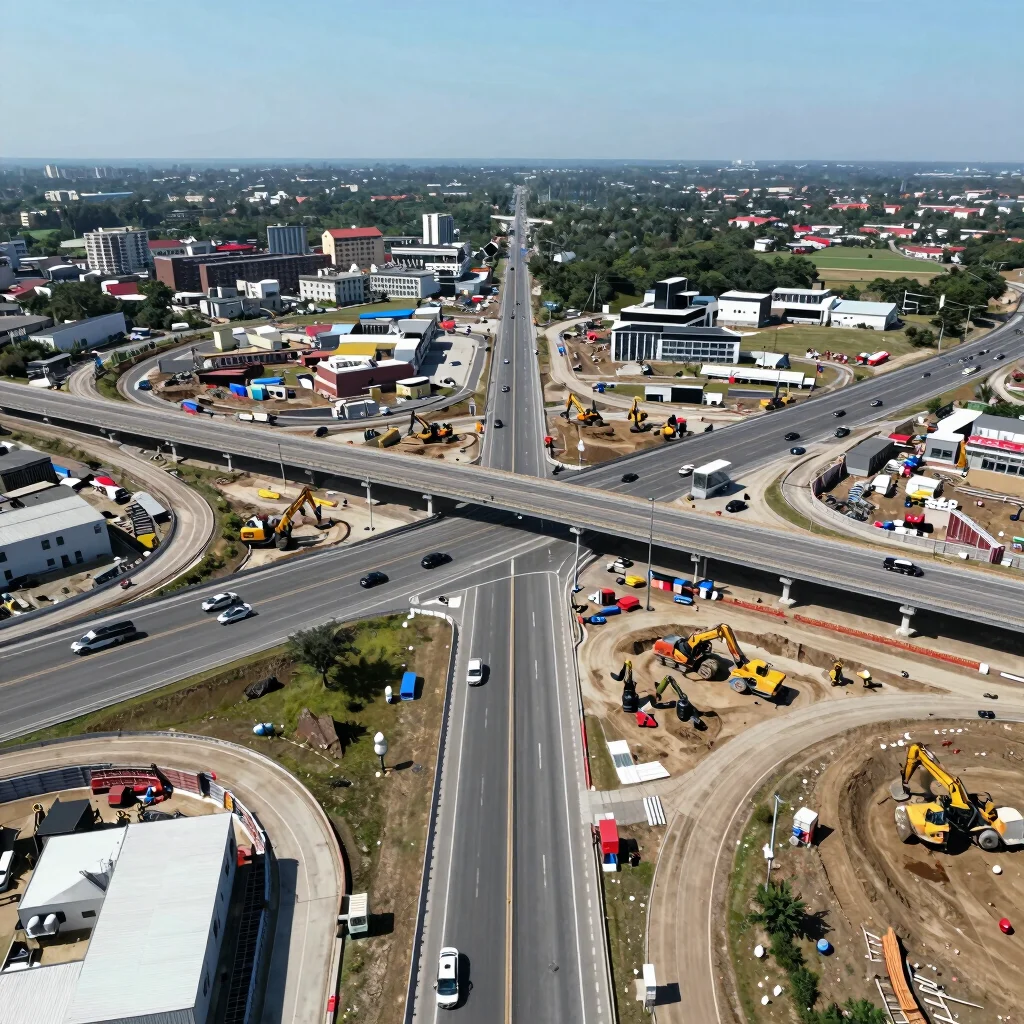
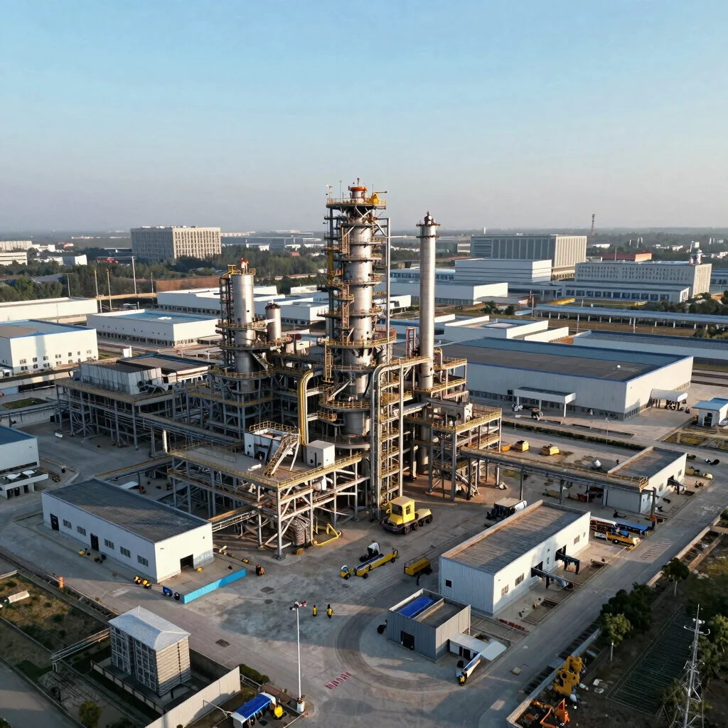
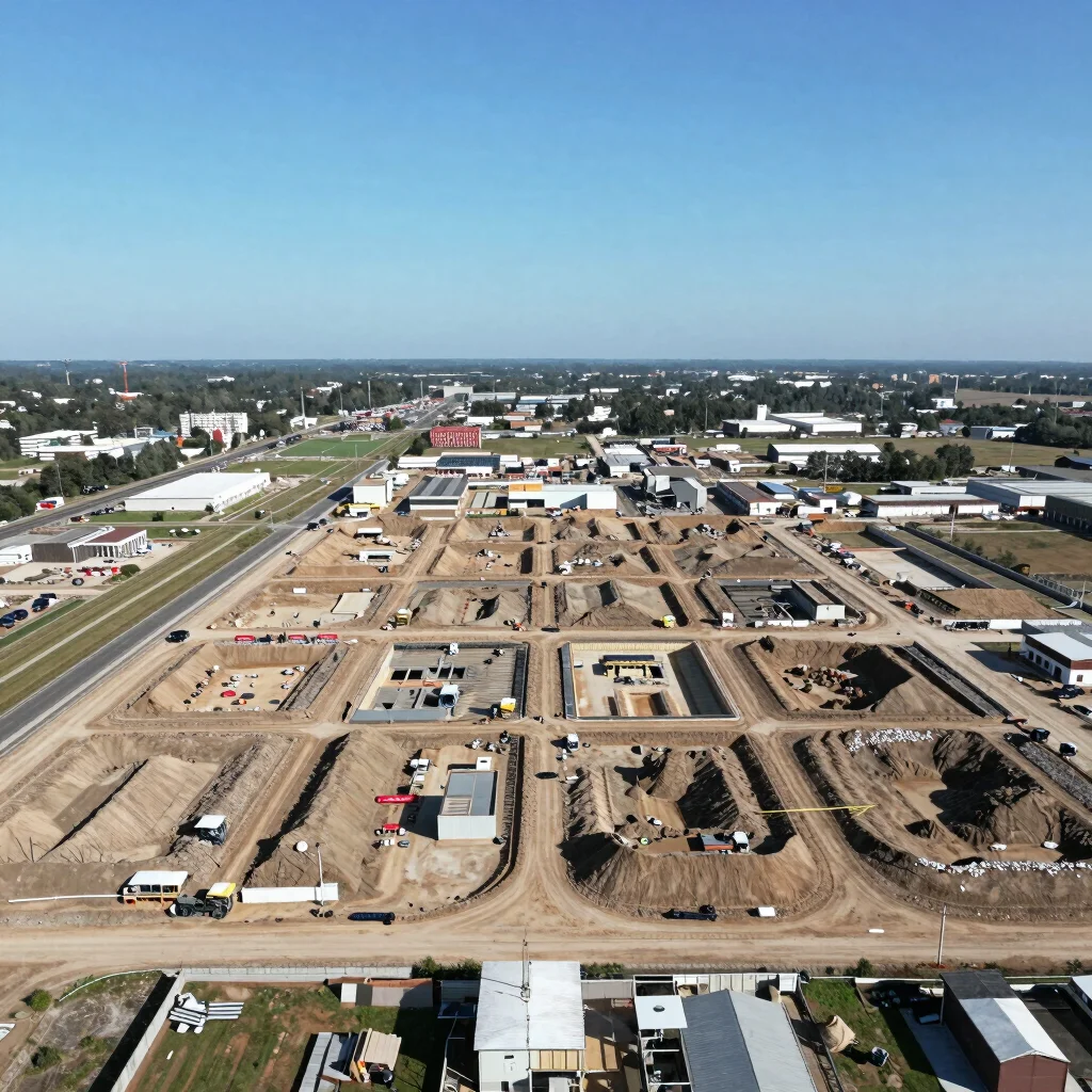
Leverage high-resolution aerial insights for your North Dakota construction projects. Our FAA-certified drone operations provide critical visual reporting for milestones, safety, and structural integrity. Ensure every phase is meticulously documented for stakeholders and remote teams.
Explore high-angle aerial documentation of active construction sites and infrastructure across North Dakota. Our imagery captures spatial scale and critical details for progress tracking and logistics verification.