Minot North Dakota Drone Operations

Professional Aerial Photography Services

Capture high-resolution aerial images and drone photography for commercial properties, construction sites, oil fields, agricultural land, and real estate across Minot and North Dakota.

Operational Standards

Certified Field Capabilities

Professional Drone & Aerial Photography Capabilities

Our aerial photography services combine FAA Part 107-certified drone operations with high-resolution imaging for businesses, property owners, contractors, developers, and commercial operators throughout Minot and North Dakota.
Part 107

FAA Part 107-certified commercial drone operations for professional aerial photography and site documentation.

Bakken

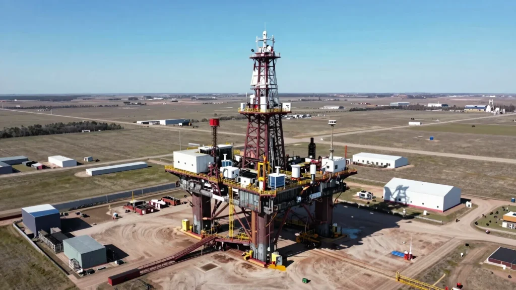
Aerial photography coverage for oil fields, energy infrastructure, construction projects, and commercial properties across the Bakken region.

Minot, ND

Local aerial photography services based in Minot, providing efficient drone coverage for projects across North Dakota.

Core Sectors

Commercial Aerial Photography for North Dakota Businesses

Professional drone photography and aerial imaging tailored to the visual documentation needs of commercial operators, property owners, contractors, developers, and land managers.

Agricultural

Agricultural Aerial Photography

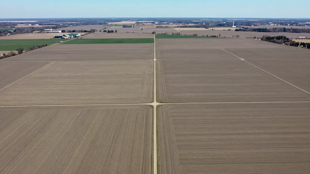
High-resolution drone photography for agricultural acreage, farmland, field boundaries, crop areas, land management, and property assessment across North Dakota.

Energy & Build

Oil Field & Construction Drone Photography

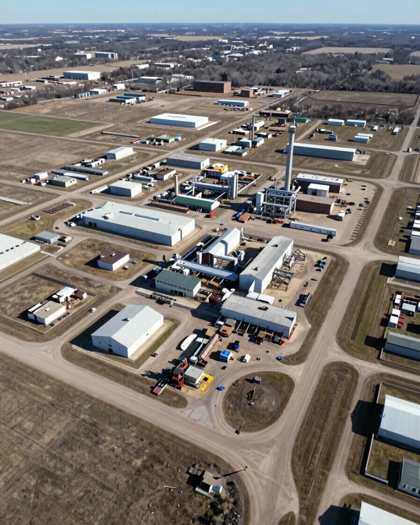
Aerial photography for oil fields, drilling sites, energy infrastructure, construction progress, equipment documentation, and commercial development throughout the Bakken region.

Commercial / Real Estate

Commercial Real Estate Aerial Photography

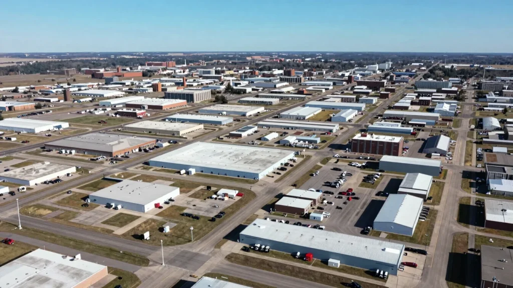
Showcase commercial properties, development sites, industrial facilities, land parcels, and surrounding areas with professional aerial photography and drone imagery.

Technical Compliance

Aerial Site Photography & High-Resolution Mapping

Professional aerial imagery can provide a clear visual overview of large properties, construction sites, commercial facilities, agricultural land, and energy infrastructure.

Our drone photography services support aerial site documentation, property marketing, construction progress photography, land assessment, and orthomosaic mapping where project requirements call for detailed aerial imagery.

Schedule Your Aerial Photography Project

Need professional drone photography for a commercial property, construction site, oil field, agricultural property, or development project?

Contact Minot Aerial Photographer to discuss your project requirements and request a customized aerial photography proposal.