Regional Operations

Location-Focused Portfolio for Minot, North Dakota

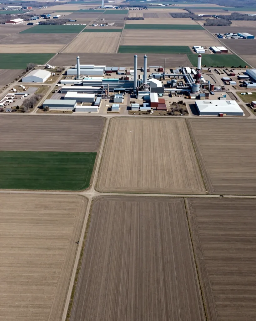
Minot Aerial provides specialized aerial drone operations across North Dakota farmlands, active Bakken oil field infrastructure, heavy construction builds, and commercial real estate parcels.

Built for project managers requiring FAA Part 107 flight compliance, orthomosaic spatial detail, and rapid visual asset delivery across the Upper Midwest.
Operational Workflow

Flight Planning and Delivery

01

Pre-Flight Compliance

Assess airspace authorization, establish site safety boundaries, and confirm survey grid parameters under FAA Part 107 protocols.

02

Spatial High-Altitude Capture

Execute high-resolution drone flight passes to gather orthomosaic land angles, structural sweeps, and terrain imagery.

03

Digital Asset Processing

Deliver organized orthomosaic data, high-resolution visual files, and field reports directly to project leads.